


1h 46m
Estimated time
Est. time
2.1mi
Estimated length
Est. length
Hilly
Elevation
Elevation
Hard
Very hard
Good conditions
About the course
Hole 1 is at the very back of the park by shelter #3. During the winter park by shelter #1 and start on hole 10.
18 holes
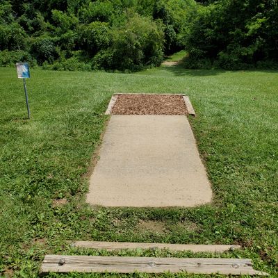
Concrete, Rubber mat, Grass Tees
ChainStar Pro, Shorty Targets
Mixed use
Public park
Dogs allowed
Cart friendly
Drinking water available
Restroom available
Stroller friendly
Bumpy in spots but a stroller can used.
Limited mobility/cane accessible
Course has elevation change and deals with roots throughout wooded holes. Many places to take a break and rest.
Established in 2010
Time your trip
Course traffic - Players usually spend 1 - 2.5 hours here.
Want access to real-time course traffic?It's on UDisc Pro.
Location
See the maps
Time your trip
Course traffic - Players usually spend 1 - 2.5 hours here.
Want access to real-time course traffic?It's on UDisc Pro.
What's in the area
3.4
4.0
4.3
3.7
4.2
Follow course maps with the UDisc app
Scan with your mobile device

Upcoming events
Show allNo upcoming events!
Nearby courses
Nearby stores
Frequently asked questions
How do I get to Seviren Lang Disc Golf Course?
How do I get to Seviren Lang Disc Golf Course?
You can get directions to Seviren Lang Disc Golf Course by clicking Get Directions, which will open your device's map application with the disc golf course location. The disc golf course is located at 38.2789, -85.926903 in Georgetown, Indiana.
Do I need to pay to play disc golf at Seviren Lang Disc Golf Course?
Do I need to pay to play disc golf at Seviren Lang Disc Golf Course?
Seviren Lang Disc Golf Course is free to play! Just show up and enjoy the disc golf course.
What is the difficulty and length of Seviren Lang Disc Golf Course?
What is the difficulty and length of Seviren Lang Disc Golf Course?
Seviren Lang Disc Golf Course has 18 disc golf holes and has a difficulty rating of "Hard" and "Very hard". The typical disc golf round at Seviren Lang Disc Golf Course takes about 2 hours and covers approximately 2.1 miles (3.4 km).
How highly rated is Seviren Lang Disc Golf Course by the disc golf community?
How highly rated is Seviren Lang Disc Golf Course by the disc golf community?
Seviren Lang Disc Golf Course has an average rating of 4.4 out of 5 stars based on 1714 community reviews. This is considered a very good course rating by the disc golf community.
What amenities are available at Seviren Lang Disc Golf Course?
What amenities are available at Seviren Lang Disc Golf Course?
Seviren Lang Disc Golf Course offers the following amenities: 18 disc golf holes, restrooms, drinking water, cart-friendly paths, pet-friendly areas, stroller-friendly paths. Stroller access: Bumpy in spots but a stroller can used.
When is the best time to play at Seviren Lang Disc Golf Course?
When is the best time to play at Seviren Lang Disc Golf Course?
Upgrade to UDisc Pro to see detailed course traffic patterns and find the best times to play disc golf here.
How can I record my disc golf round at Seviren Lang Disc Golf Course?
How can I record my disc golf round at Seviren Lang Disc Golf Course?
You can record your disc golf round using the UDisc mobile app. If on your phone, tap the "Start a Round" button at the bottom of this page to begin navigating Seviren Lang Disc Golf Course and recording your disc golf round. The app provides GPS-enabled disc golf hole maps, scorekeeping, and statistics. Upgrade to UDisc Pro for advanced features like detailed statistics and course traffic information.